
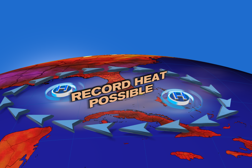
We’re beyond the dog days of summer but the summer heat is still on and will be on in a big way this week in South Florida.
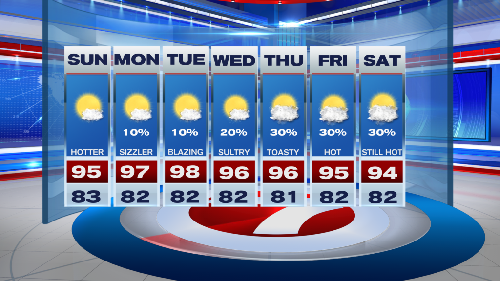
With several days forecast to have highs in the mid to upper 90s, this week will likely be the hottest of this year’s summer.
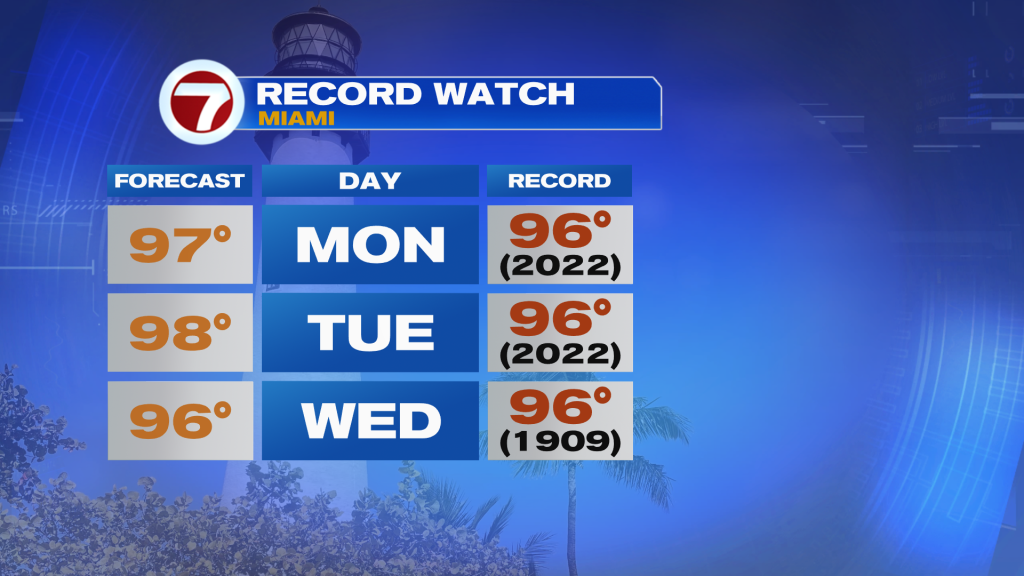
High temperatures will be the most extreme early to mid week with record heat probable at least on Monday, Tuesday and Wednesday in Miami — as well as other parts of the area.
The reason? A large heat dome over the deep South, producing and trapping lots of heat across the greater region while winds flow out of the west and northwest wind direction.
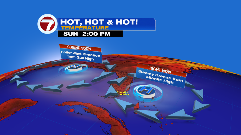
For east coast locations of South Florida, this is usually our most favorable setup for extreme heat.
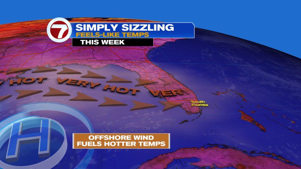
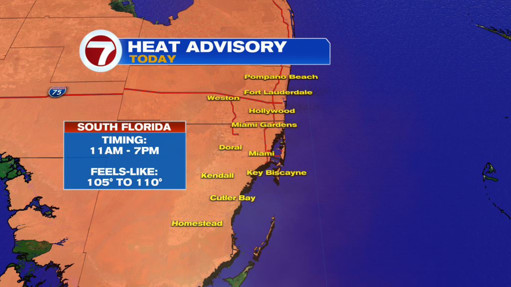
The heat will be on including this Sunday with a Heat Advisory in effect from 11AM-7PM, so stay hydrated and try to stay inside with the A/C or under the shade during the midday and afternoon hours.
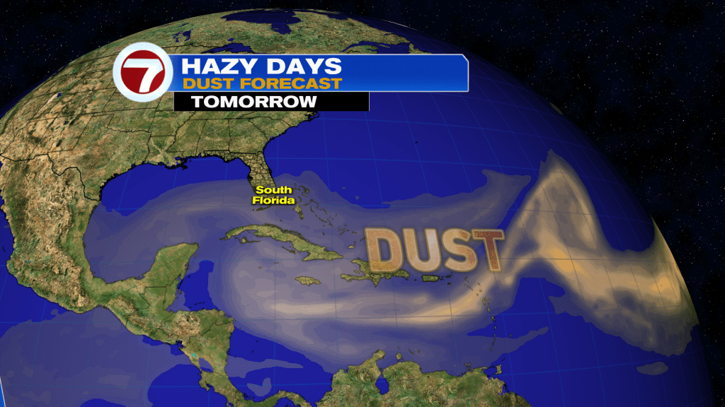
Sunday will be another rain-free day with an uncommon, near-zero-percent chance for rain. That will come with plenty of hazy sunshine due to Saharan dust.

That dust will linger through at least early week, keeping skies hazy but also mostly clear of clouds and any rain.
During the back half of the week, the heat dome will start to break down, allowing for temperatures to simmer down by a few degrees. It will still be hot and above average, just not as hot as Tuesday — our hottest day forecasted.
Perhaps, some isolated, pop-up showers and storms return by next weekend but it doesn’t look like a great rain chance.
Tropical update
The Atlantic is quiet with no development expected over the next week at least.
Source: News Miami – Fox News