

Summer steam is in full swing, south Florida. Our temperatures continue to soar into the 90’s with sticky humidity that’s sticking around. Here’s the Miami skyline view with a distant haze which prevailed throughout the day.
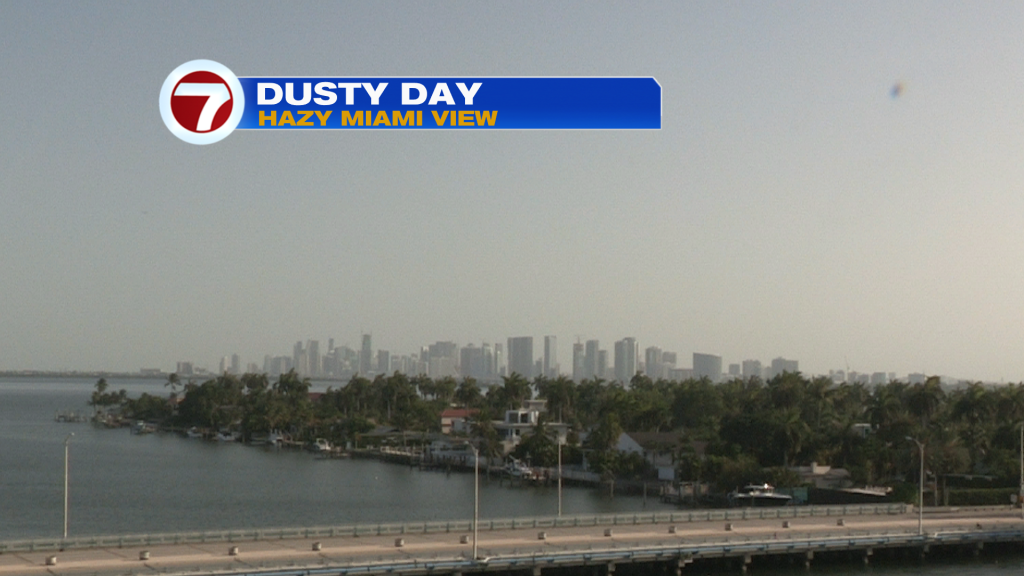
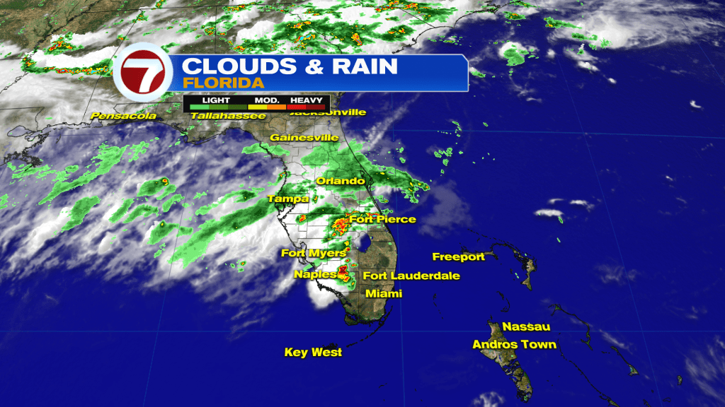
The milky sky is from the most recent batch of Saharan Dust over the region. It has contributed to mainly dry weather (at least across south Florida) while other spots had to brace for typical summer downpours.
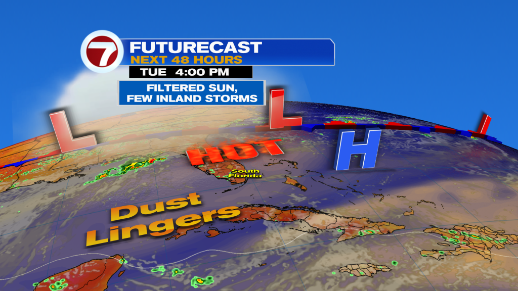
On Tuesday, the weather map (below) shows Dust remaining in the vicinity and a persistent High Pressure center near the Bahamas. Winds will remain very light, meanwhile, arriving off the Atlantic Ocean.
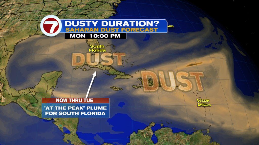
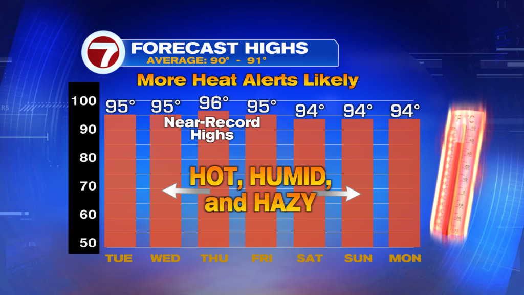
As for the “future” of the Saharan Dust, we’re monitoring another batch in the distant south and east. So more is coming? Our forecast models bring the 2nd batch near us into the midweek. However, the core of it will likely spread south. Also, the dry dust swath is forecast to thin-out over time. So, only a minimal version is expected to survive as the week goes on. Beyond that, the bigger story will be the prolonged high heat. Near-record highs will evolve for the second half of the week. Temperatures also consistently peak in the mid 90’s the heat index values will hover in the 105-110º range (if not higher)!
Source: News Miami – Fox News