
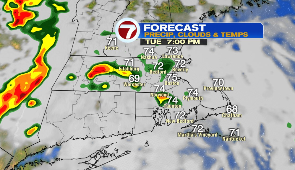
We walk out to another nice start to the day, albeit more clouds in the mix this morning. Temps warm to near 80 this afternoon with cloudy to partly sunny skies and increasing humidity. Scattered showers and storms do form this afternoon, with the bulk of them early to mid afternoon across the western half of southern New England.
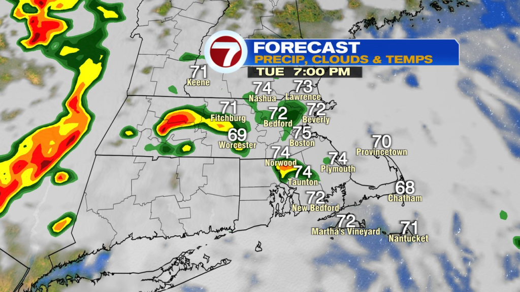
Late afternoon isolated to scattered showers and storms across eastern Mass will become more widespread this evening with localized downpours and strong wind gusts as the main risks. The risk is low for a brief tornado in Southern New England, but non-zero, as the profile of the atmosphere will allow for some rotation with these storms.
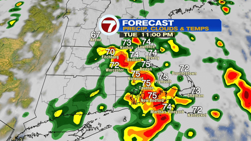
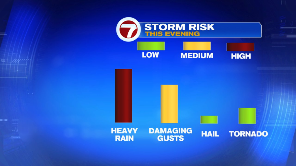
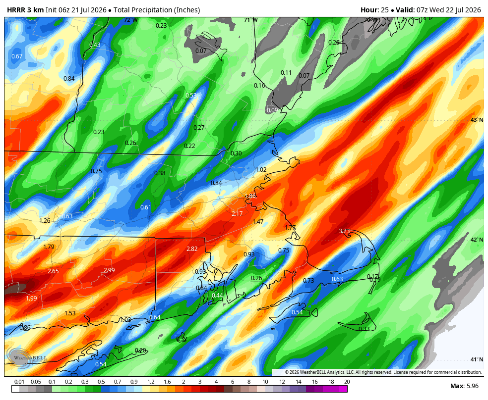
Rainfall totals will vary quite a bit from location to location, but areas that have tropical downpours line up over them will pick up a quick 1-2″. That’s why localized street flooding/poor drainage flooding is possible. The map below won’t be exact of where the heaviest rain sets up, just an example of how variable some of the totals will be.
Most of these storms move offshore just after midnight tonight, leaving a very humid and warm pattern in place overnight.
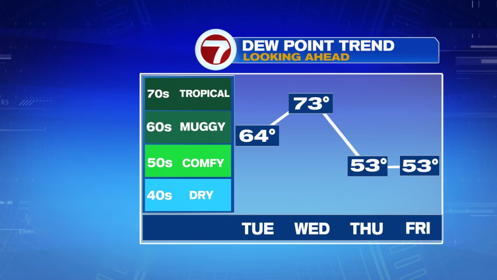
Breaks of sun tomorrow will send temps into the mid 80s in the afternoon. It’ll be very soupy with dew points 70-75. That’ll help fuel some isolated to scattered storms tomorrow. A lot of dry breaks will be in there too.
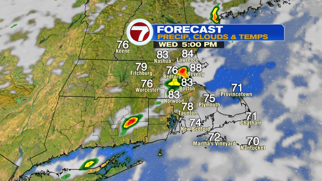
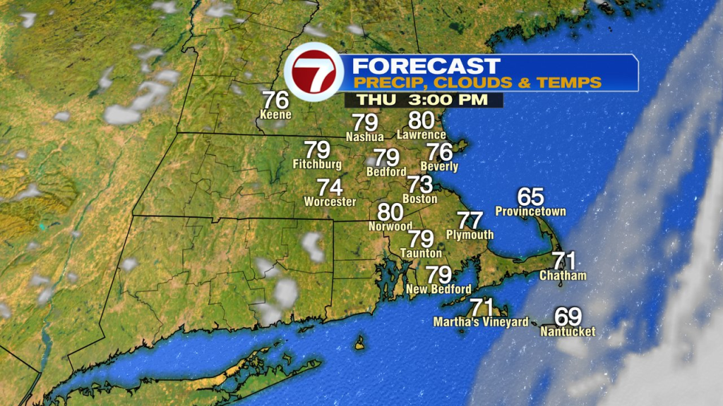
Once the cold front clears the coast, humidity drops off tomorrow night into Thursday. A few lingering showers are possible Thursday morning across the Cape, before dry air wins out for all. Overall, Thursday, through the weekend looks solid with temps in the mid 70s to low 80s, coolest coast, and humidity on the comfortable side.
Source: News – Boston – whdh